New opportunities for satellites in agriculture
Tuesday, 29 January 2019
Satellite technology has been a part of everyday life for many decades – weather forecasting since 1960, communications (1962), television (1989) and automotive navigation systems (1990). The latter led to steering guidance and enabled precision farming. The first Earth observation satellite was launched in 1972, but for many years, remotely-sensed images of our environment and global land use have been, as far as farmers and growers have been concerned, simply remote – tools for meteorologists and academics.
However, as technologies have developed, satellite images have become ever more familiar through everyday uses such as weather forecasts and mapping applications. Advances in image resolution mean that satellite imagery can now reveal meaningful detail in growers’ fields, and increases in satellite revisit rates mean that these observations are beginning to be made frequently enough to allow crop management decisions to be made.
Costs have also fallen dramatically - following the launch of the European Space Agency’s ESA’s Sentinel programme, satellite imagery is now available free of charge.
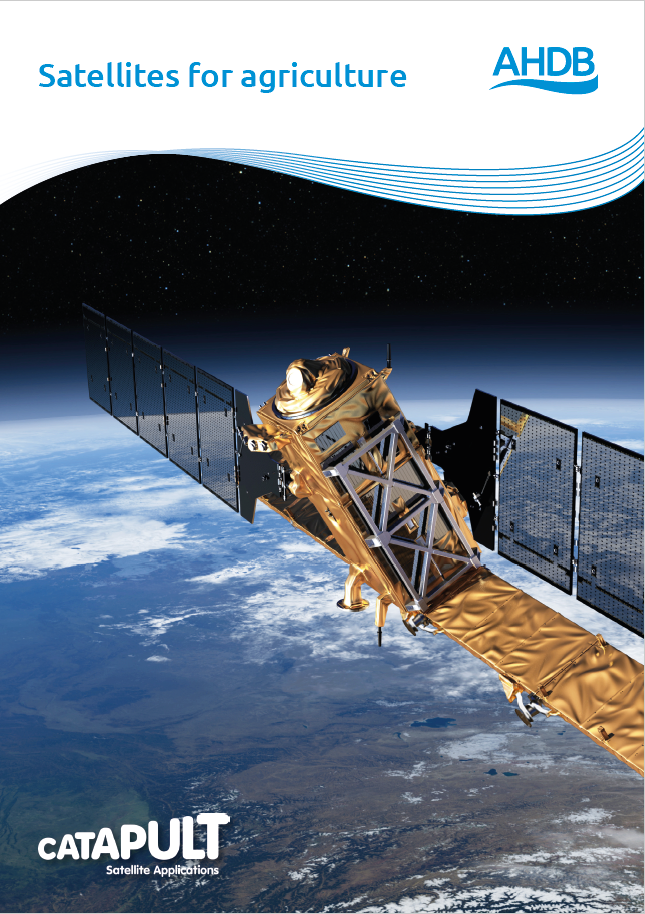
To help growers take advantage of these developments, we commissioned the UK’s leading authority for satellite technology, the Satellite Applications Catapult, to produce Satellites for Agriculture. The report is an overview of the vast range of opportunities becoming available to farmers and growers from the space sector. Benefits include:
- Assisting with detecting and controlling pests and disease
- Understanding water and nutrient status
- Planning crop nutrition programmes
- Informing in-season irrigation
- Predicting yields
- Estimating harvest timing
Satellites for Agriculture also explores the scope of current technology for environmental monitoring and presents some new opportunities in communications, including the Internet of Things (IoT) and introduces the vision for Earth observation developments for the coming decades.


